About
Spatio-temporal Earth data without hassles? Free of issues with formats, coordinate systems, 2D, 3D, 4D, subsetting, and analytics?
OGC coverages provide a powerful, versatile tool, but still misconceptions and a lack of knowledge often prevent from getting the maximum benefit.
This site provides practical examples for dealing with spatio-temporal coverages through OGC WMS, WCS, and WCPS, complementing the ample coverage standards training material available. Aiming at developers it shows onrequest level how to access, extract, process, combine, and reformat coverages in an easy-to-comprehend way with manifold examples for recapitulation and modification.
Learning Coverages
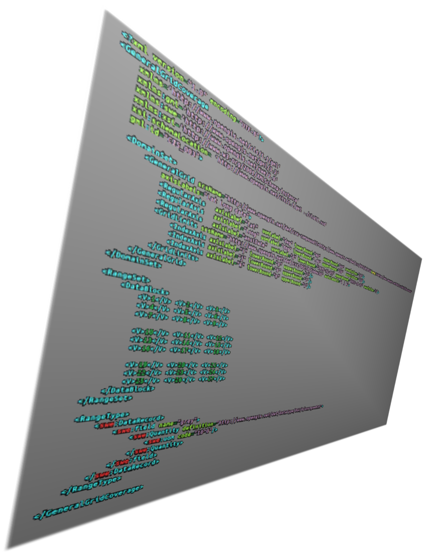
Datacubes at your fingertips - the Coverage data model together with the Web Coverage Service (WCS) and the Web Coverage Processing Service (WCPS) standards define spatio-temporal access and analytics on Big Earth Data.
Exploring Coverages
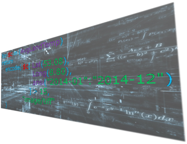
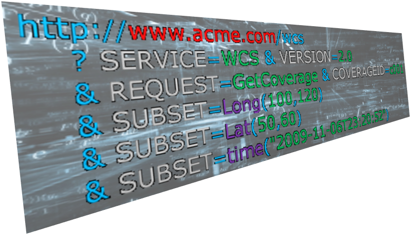
Standards-based access to sensor timeseries, geo imagery, climate datacubes, and more. Direct data interaction helps understanding about coverages, from visual clients down to Web request level and analytics queries.
rasdaman
This WCS / WCPS tutorial is powered by rasdaman, the pioneer Array Database which has introduced actionable datacubes. Its innovative raster query language has shaped ISO SQL and OGC WCPS standards.
...by Application Domain
Coverages in particular model all sorts of raster data, including satellite imagery, climate and ocean data, DEMs, thematic maps, etc. For example, in the European SDI initiative INSPIRE coverages play a central role for Elevation, Land cover, Orthoimagery, Geology, Land use, Natural risk zones, Environmental Monitoring Facilities, Atmospheric conditions, Meteorological geographical features, Oceanographic geographical features, Energy resources, Species Distribution.